Well due to the popularity of this project I have doubled the number of pictures and fleshed out the descriptions a bit. I judge popularity by number of hits ... but if you want to see more of my photo collection (and it is big -- I've been saving them for years and only now have had the space to mount them, thanks to Chad) then you will need to write me and respond to this.
Click on the thumbnails to view the larger photo:
![]()
 Here's my shot of the worn walls of Giustenal with a little of the silt sea
on the left. It doesn't get much clearer than this of Giustenal, what with the
silt sea and the tar pits. Lucky day, I guess. Except for my poor half-giant
baggage carrier, who hopped into the tar pits for no apparent reason.
Here's my shot of the worn walls of Giustenal with a little of the silt sea
on the left. It doesn't get much clearer than this of Giustenal, what with the
silt sea and the tar pits. Lucky day, I guess. Except for my poor half-giant
baggage carrier, who hopped into the tar pits for no apparent reason.
![]()
 I managed to catch this shot of a couple elves in the stony barrens. Just my
luck I didn't notice the dust stirring behind them -- I was chased by a rather
large number ... but I won't bore you with the story.
I managed to catch this shot of a couple elves in the stony barrens. Just my
luck I didn't notice the dust stirring behind them -- I was chased by a rather
large number ... but I won't bore you with the story.
![]()
 If I read the Wanderer's map right, this one is Desverendi's valley. Not sure though,
since the mountainside is riddled with little valleys in that area, but this is
the only one I found with an actual waterfall.
If I read the Wanderer's map right, this one is Desverendi's valley. Not sure though,
since the mountainside is riddled with little valleys in that area, but this is
the only one I found with an actual waterfall.
![]()
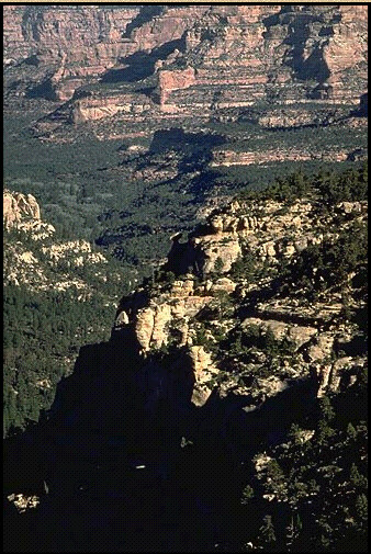
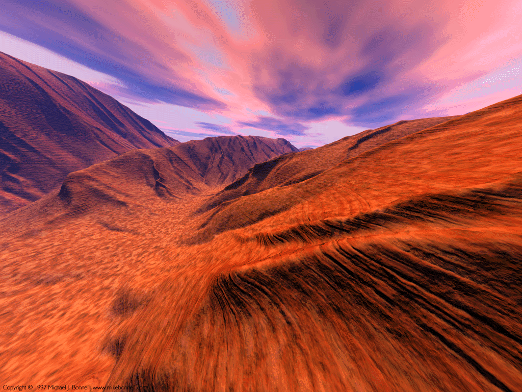
 Here's some of that ubiquitous, dry desert terrain. I guess you call this
stony barrens? Or is they sandy wastes?
Here's some of that ubiquitous, dry desert terrain. I guess you call this
stony barrens? Or is they sandy wastes?
![]()
 Are THESE the stony barrens? Help!
![]()
 Here are a couple shots of the Black
Waters. One shot is taken from North of Yaramuke facing south,--
Here are a couple shots of the Black
Waters. One shot is taken from North of Yaramuke facing south,--
-- and here is another taken from the South, facing North: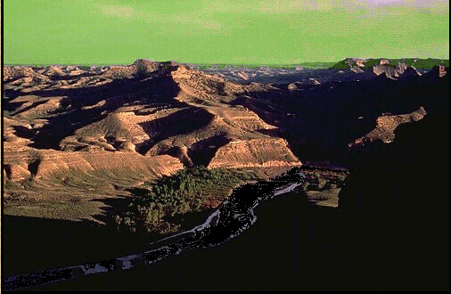
![]()
 Here's
an interesting shot of the White Mountains -- the halfling side. According to
Will's accounts, these mountains are the scenes of running small-scale,
secretive battles between Kurn's templars (aided by Aarakokran) and the
halflings. Apparently the steeper the mountains, the better trapped and tunneled
the Templars have it. Extraordinary that they keep such tight defenses so
many miles from the nearest Kurn households.
Here's
an interesting shot of the White Mountains -- the halfling side. According to
Will's accounts, these mountains are the scenes of running small-scale,
secretive battles between Kurn's templars (aided by Aarakokran) and the
halflings. Apparently the steeper the mountains, the better trapped and tunneled
the Templars have it. Extraordinary that they keep such tight defenses so
many miles from the nearest Kurn households.
![]()
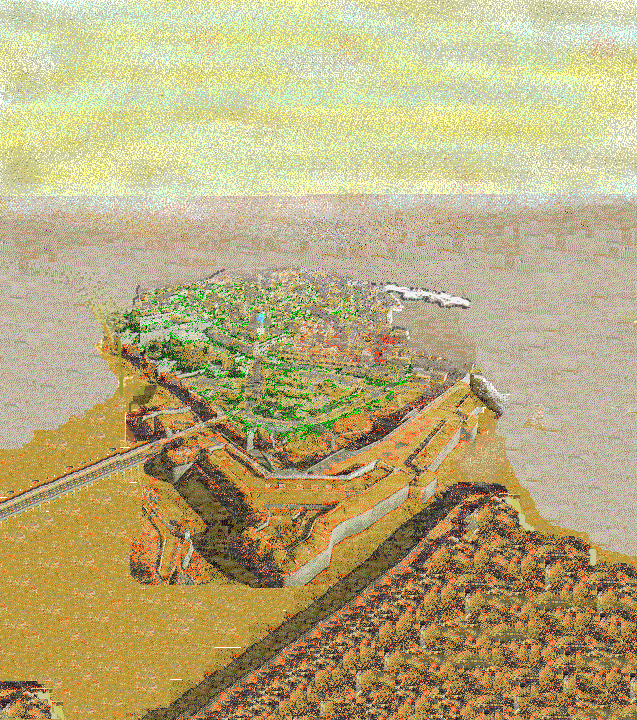 This
one is an artist's rendition of the city of Balic. Good winds and possibly
enchantments leave Balic generally much less dusty than Giustenal (one rarely
has to wear a silter in Balic), but this artist for some reason has chosen to
depict a rather silty day.
This
one is an artist's rendition of the city of Balic. Good winds and possibly
enchantments leave Balic generally much less dusty than Giustenal (one rarely
has to wear a silter in Balic), but this artist for some reason has chosen to
depict a rather silty day.
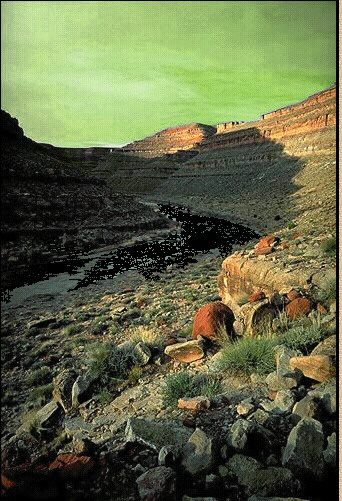
I believe I took this one between Gulg and Altaruk. It's hard to remember to
take pictures of 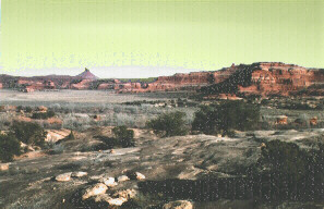 consistent
terrain -- I tend to click the camera when I see contrasts.
consistent
terrain -- I tend to click the camera when I see contrasts.
Here is the same area, 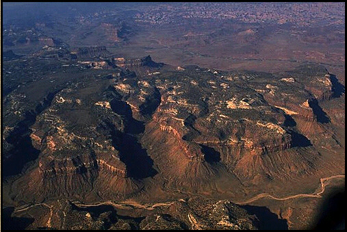 viewed
from above. Bad luck with a defiler's Reverse Gravity spell -- Long painful
story that I don't want to talk about.
viewed
from above. Bad luck with a defiler's Reverse Gravity spell -- Long painful
story that I don't want to talk about.
 Thanks
to a very long lasting potion of feather-falling, I was blown around by the
winds by hours, and managed to catch this shot of the Altaruk road on the way
down, about mid-day. I also managed to catch a serious case of second- degree
sunburn.
Thanks
to a very long lasting potion of feather-falling, I was blown around by the
winds by hours, and managed to catch this shot of the Altaruk road on the way
down, about mid-day. I also managed to catch a serious case of second- degree
sunburn.
![]()
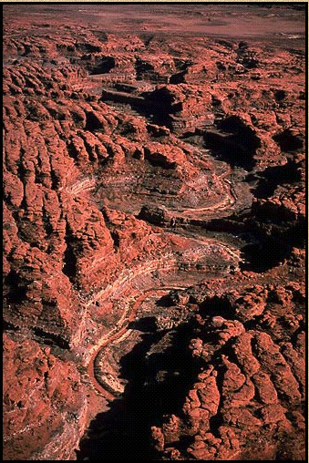
 Here's a bandit's eye-view of the road to Altaruk. Actually you can't see the road
too well -- I didn't want to get too near that edge.
Here's a bandit's eye-view of the road to Altaruk. Actually you can't see the road
too well -- I didn't want to get too near that edge.
![]()
 This
one shows a cloudy, overcast night with both moons full. Rare and beautiful.
This
one shows a cloudy, overcast night with both moons full. Rare and beautiful.
![]()
 Rumish
Rock -- some trade outpost out in the middle of nowhere. Very nervous, defensive
guards.
Rumish
Rock -- some trade outpost out in the middle of nowhere. Very nervous, defensive
guards.
![]()
 Potion
of Sunblock, anyone?
Potion
of Sunblock, anyone?
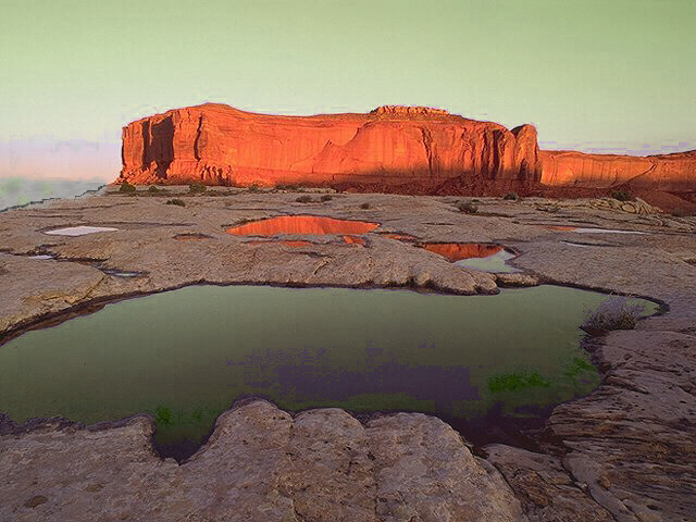
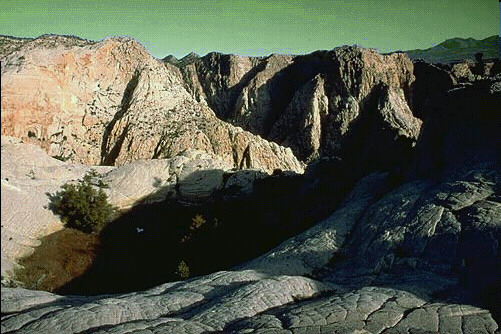
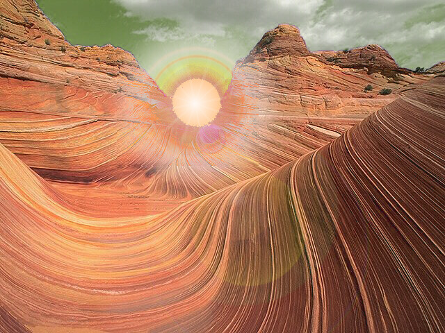
Hard to believe this land ever held so much water, but I can't figure out what else could have left the marks on those rocks. Note that no one has ever designed an adequate lens for taking a shot of Athas' red sun. Then again, I would not know, I am just an amature.
![]()
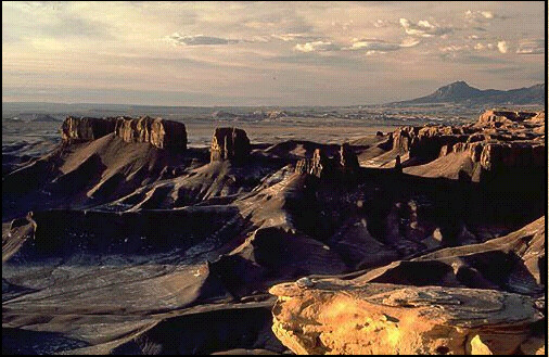
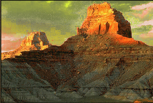 More
badlands near the Ringing Mountains.
More
badlands near the Ringing Mountains.
![]()
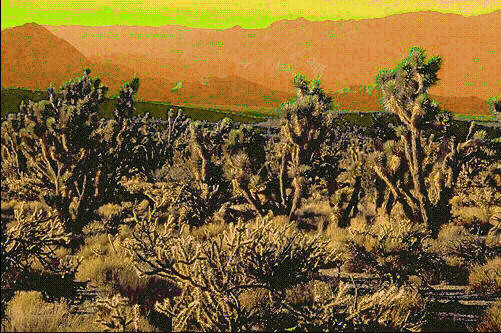 Fruit
trees on the far fringes of Tyr's farmlands. I tried to ask the farmers what
kind of fruit they were, but they chased me off with some sort of obsidian
pruning hooks. Any ideas?
Fruit
trees on the far fringes of Tyr's farmlands. I tried to ask the farmers what
kind of fruit they were, but they chased me off with some sort of obsidian
pruning hooks. Any ideas?

 These
two shots come to me from Christian
Petersen. Christian appears to be using some sort of time lapse method -- I
find his work with the skies particularly interesting. To the left we have a
desert sunset from the southlands, to the right, an astonishing shot of what
appears to be the preliminaries to a Tyr storm over the rocky badlands. I can't
think of a more dangerous place to be. How the photographer escaped escapes me!
These
two shots come to me from Christian
Petersen. Christian appears to be using some sort of time lapse method -- I
find his work with the skies particularly interesting. To the left we have a
desert sunset from the southlands, to the right, an astonishing shot of what
appears to be the preliminaries to a Tyr storm over the rocky badlands. I can't
think of a more dangerous place to be. How the photographer escaped escapes me!
![]()
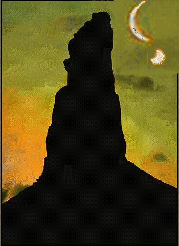
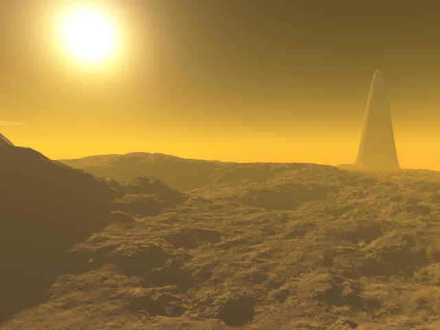 Here's
a shot of the famous monolith from the endless sand dunes in the south. A
disturbing sight if you ask me. That is about the worst land for mirages other
than the obsidian wastes during the heat of the day. I don't care if the
gladiators make fun of you: bring a parasol!
Here's
a shot of the famous monolith from the endless sand dunes in the south. A
disturbing sight if you ask me. That is about the worst land for mirages other
than the obsidian wastes during the heat of the day. I don't care if the
gladiators make fun of you: bring a parasol!
![]()
These just in: Some of you have asked me about the Reman continent. Currently
information on Remaan is rather sparse, and time is too short for me to make a
detailed account. But for what it is worth, here are my photos of Remaan's
unusual geography. As you may recall, the Reman civilization was the source of
the cultures that founded Tyr and Balic. The Remans were the most racially
united of the nation-states; Remans included Elves, Humans, Orcs, Dwarves, and
Pterrans. Thus Remaan took the brunt of Rajaat's anger -- The faraway continent
of Remaan (almost opposite the globe from the pristine tower) was the only land
where Rajaat personally led the attack. 
Rajaat stirred up the bowels of the earth, turning
Remaan into a volcanic wasteland. For weeks, volcanoes belch ash into the sky, 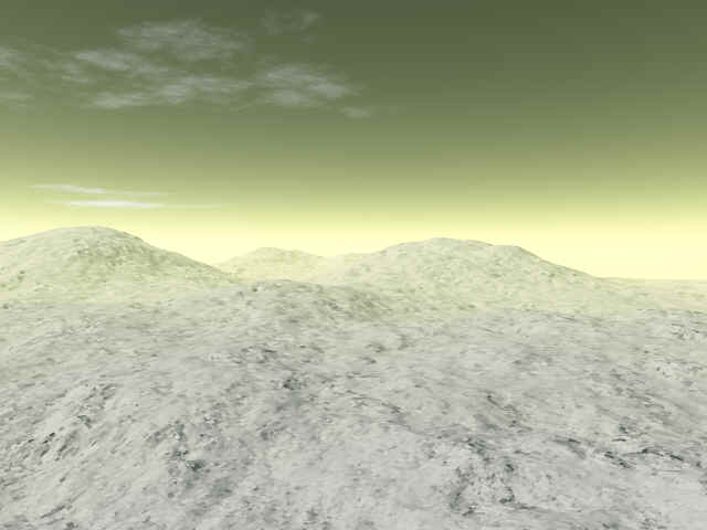 until
a few hours of rain temporarily clear the ash from the air.
The ash turns into a sort of cement, and dries in the
sun, creating a rough, mostly flat landscape, broken only by rough trenches and
ever-belching volcanoes. The cycle repeats, so that the land is mostly flat with
puddles of wet cement.
until
a few hours of rain temporarily clear the ash from the air.
The ash turns into a sort of cement, and dries in the
sun, creating a rough, mostly flat landscape, broken only by rough trenches and
ever-belching volcanoes. The cycle repeats, so that the land is mostly flat with
puddles of wet cement.
During the brief times when the air is clear, moss and plants, especially
water lilies and bamboo clusters, thrive and grow rapidly.
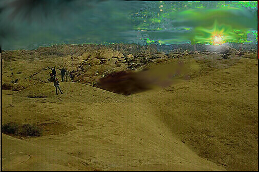
Right is a rare shot of Remaan while the sky is clear. Usually the air is either filled with ash or with water mist. Note the gully -- earthquakes frequently shake the land and split the cement land to its foundations. Naturally, the water/cement slop of the rain tends to fill up these ravines
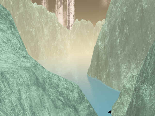
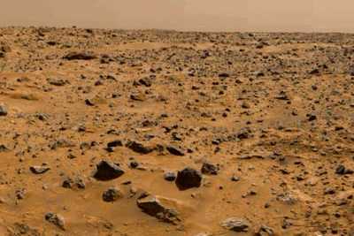
Here is a shot taken from inside one of these ravines. Remaan contains at least one large but shallow bodies of water, although the precise borders shift. Although flat, Remaan's plains are at a high altitude after millenia of level after level of cement. Old volcanoes go extinct and new ones occasionally break through the ground and fathoms of cement.
From The Crimson Legion, Chapter Seven, page 140.
'Before climbing out of the trough, Rikus paused to look at the crimson sun. It hung at its zenith, a fiery orb that hovered in the exact centre of the blazing white bowl of the midday sky. '"White sky," Neeva said, also studying the sun.'
![]()
If anyone has any other cool Athasian Photos they would like to share, or any other citations of official information on the Athasian sky, please send them over to technobabel@juno.com --my maximum attachment download is 1MB, I think, so try to keep it under that.